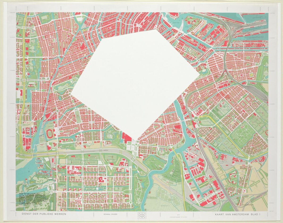
Map of Amsterdam with the Area between Emma-Plein, Europa-Plein, Ooster Park, Nieuwmarkt, and Bus Station Removed
Sol LeWitt, 1976
Map of Amsterdam with the Area between Emma-Plein, Europa-Plein, Ooster Park, Nieuwmarkt, and Bus Station Removed by Sol LeWitt (1976) — Prints & Drawings. A museum-quality archival print, made to order. Explore it in 3D and buy any size inside the Orlonzo spatial gallery.
View & buy in the gallery →More by Sol LeWitt
UntitledThe Location of a Yellow, Red and Blue CirclePhoto of Florence, The Area Between Piazza San Marco, Via Covour, Via Guelfa, Via de Ginori, Borgo S. Lorenzo, Via Roma, Via de Posinghi, Via Calgarioli, Via Por. S. Maria, Piazza de Pese, Lunguarno ArchibuseYellow Lines, Not Straight, Not Touching123/ Six Three-Part Variations Using Each Kind of Cube OnceUntitled
More in Sol LeWitt — Room 1
UntitledThe Location of a Yellow, Red and Blue CirclePhoto of Florence, The Area Between Piazza San Marco, Via Covour, Via Guelfa, Via de Ginori, Borgo S. Lorenzo, Via Roma, Via de Posinghi, Via Calgarioli, Via Por. S. Maria, Piazza de Pese, Lunguarno ArchibuseYellow Lines, Not Straight, Not Touching123/ Six Three-Part Variations Using Each Kind of Cube OnceUntitledAlternate Ink and Pencil Straight, Parallel Lines, of Random Length, Not Touching the SidesShort Straight Lines, Not Touching, Drawn at Random and Evenly Distributed Over the Area